PeakCam

Mt. Hood Meadows

As of 8:06 a.m. MT Nov 4, the Mt. Hood Meadows SNOTEL station (Mt Hood Test Site, 5,380 ft) reports 0 in. of new snow in 24 h, 0 in. in 48 h, base 8 in., snowpack 157% of normal.

Mt. Hood · OR

Status unknown. As of Nov 4, Mt. Hood Meadows has no confirmed operating status; base 8 in. (SNOTEL, under an hour old), 0 in. of new snow in 24 h (SNOTEL).Poor
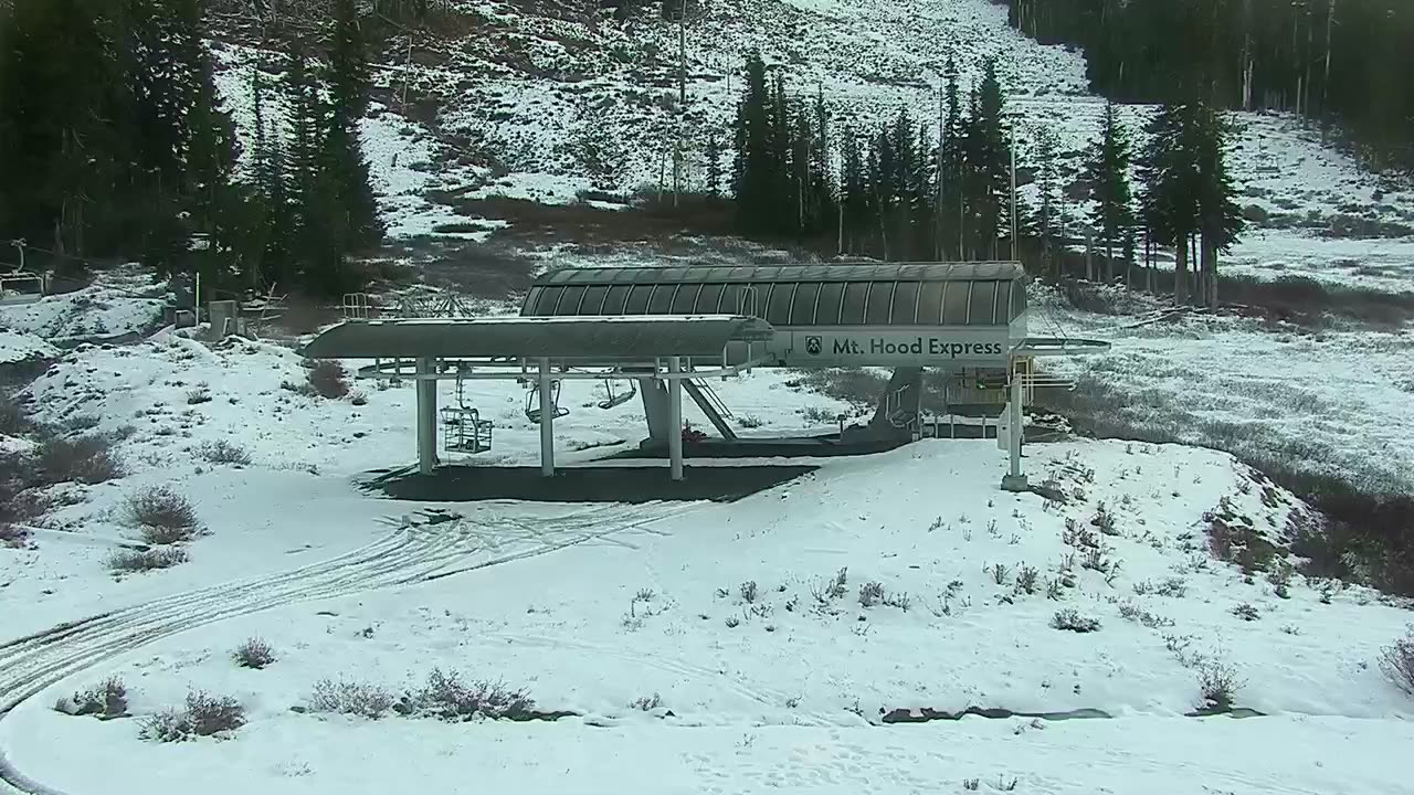
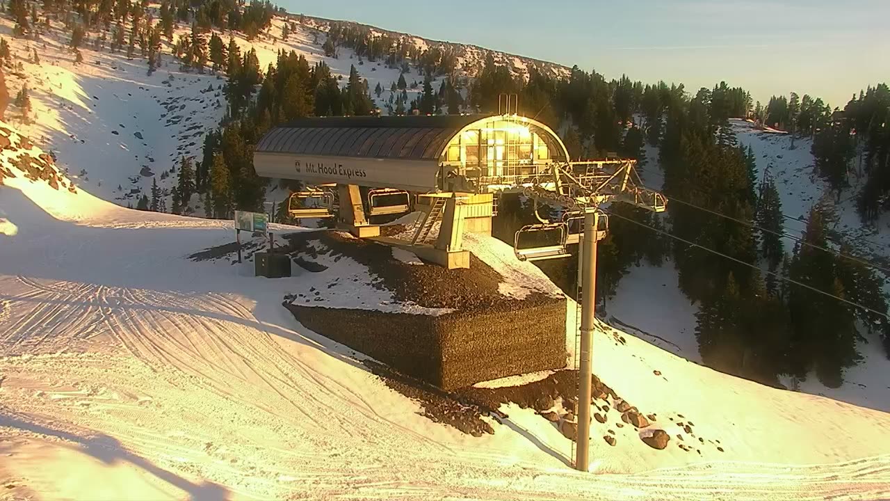
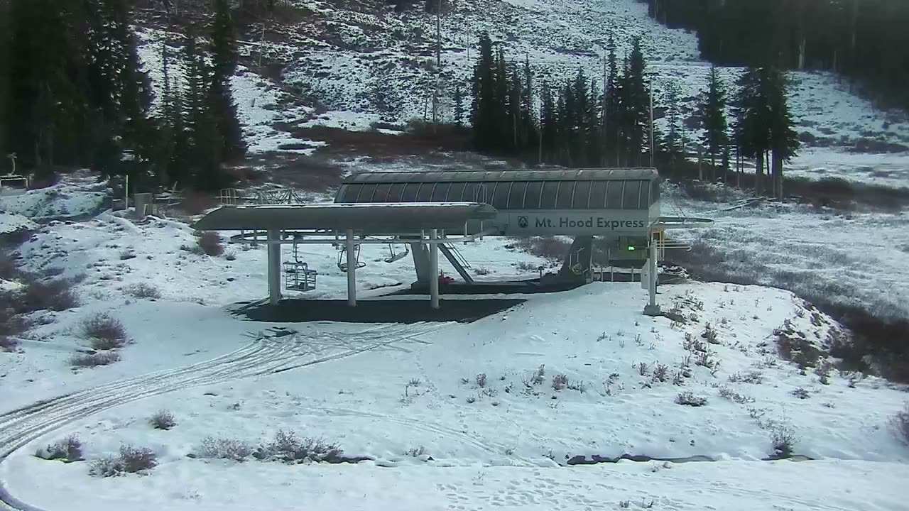
Base Area webcam at Mt. Hood Meadows

Base Area

Powder alerts

Get an email when Mt. Hood Meadows gets 6″+

No account. One email per storm day. Unsubscribe in one click.

44°Feels 43°
0"New snow
Wind
31%Precip chance
44
PeakCam Snow Scorefair2026-11-04

As of Nov 4, Mt. Hood Meadows's PeakCam Snow Score is 44 of 100 (fair): depth vs normal 30 of 30, snow quality 8.8 of 15, 7-day snow 3.3 of 25, 7-day forecast 1.5 of 20.

Why 44? The five components
  • Depth vs normal30 / 30
    snowpack 157% of the station's 1991–2020 median for today (SNOTEL), base 8 in. · SNOTEL
  • New snow, 7 days3.3 / 25
    2 in. of new snow in the last 7 days (SNOTEL) · SNOTEL
  • Forecast, 7 days1.5 / 20
    0.9 in. forecast over the next 7 days (median of 9 models, Open-Meteo) · model
  • Snow quality8.8 / 15
    4 days since the last snow day, 3-day high 45°F (SNOTEL) · derived
  • Operating status0 / 10
    status unknown (nothing on file) · none

Algorithmic, formula score-v1: great ≥ 75, good ≥ 55, fair ≥ 35. How the score works · JSON

Last 30 days
31 scored days from 2026-10-05 to 2026-11-04: 3 to 44, low 1 on 2026-10-09, high 60 on 2026-10-29.
8″
Base Depth
0″
24h New Snow
0″
48h New Snow
2.2″
SWE
157%
% of Normal
→ Stable
7-Day Trend
—
Trails Open
—
Lifts Open
Bluebird
Expect clear bluebird skies today.
More snow expected
Outlook

Updated · Source: snotel

  • Base depthSNOTELrecent <1 h
  • 24 h newSNOTELrecent <1 h
  • TempSNOTELrecent 15 h
  • Next 48 hmodelestimated 2 h
  • What the tiers mean

5-Day Forecast

NWS Forecast ↗

14-day snow outlook · summit

0.7 in next 7 days · 14.9 in over 14 · peak 5.5 in on Tue, Nov 17

9 models, 0–1.6 in today · 9 models in the blend

  1. Today

    4

    ✳✳✳✳✳✳

    0.2"

    37°/24°

    9m

  2. Thu

    5

    ✳✳✳✳✳✳

    0.5"

    33°/23°

    8m

  3. Fri

    6

    –

    38°/25°

    8m

  4. Sat

    7

    ✳✳✳

    –

    46°/31°

    8m

  5. Sun

    8

    ✳✳✳

    –

    36°/26°

    7m

  6. Mon

    9

    –

    35°/22°

    7m

  7. Tue

    10

    ✳✳✳

    –

    38°/26°

    6m

  8. Wed

    11

    ✳✳✳

    –

    39°/25°

    5m

  9. Thu

    12

    ✳✳✳

    0.4"

    33°/24°

    5m

  10. Fri

    13

    ✳✳✳✳✳✳

    1.7"

    29°/22°

    4m

  11. Sat

    14

    ✳✳✳✳✳✳

    1.4"

    32°/25°

    4m

  12. Sun

    15

    ✳✳✳✳✳✳

    2.3"

    27°/20°

    2m

  13. Mon

    16

    ✳✳✳✳✳✳

    2.9"

    24°/16°

    2m

  14. Tue

    17

    ✳✳✳✳✳✳

    5.5"

    29°/19°

    2m

Median of the models that reach each day; the pale band is the 25th–75th percentile across models. Updated every 6 hours. Weather data by Open-Meteo.com (CC BY 4.0) · every model · how it is verified

Wed
AM
43°
PM
44°
EVE
40°0.2"
Thu
AM
38°0.5"
PM
40°
EVE
35°
Fri
AM
37°

Snow amounts: PeakCam blend of 9 models (Open-Meteo, CC BY 4.0) · Narrative, temperature and wind: National Weather Service · Updated hourly

What the instruments say

by elevation band
Latest station observations near Mt. Hood Meadows, by elevation band
BandStationDepthNewTempWindRead
SummitMt. Hood Meadows - Cascade ExpressNWS · 7,300 ft · 2.5 km––––
Mid-mountainMt. Hood Meadows - BlueNWS · 6,540 ft · 1.7 km––––
BaseMt Hood Test SiteSNOTEL · 5,380 ft · 3.7 km8″0″34.3°F–

Each row is one sensor at its own elevation, not a mountain average. Daily networks (SNOTEL, GHCN) read once a day; hourly ones (NWS, ECCC, BC ASWS) carry temperature and wind but no depth. Sources: NOAA National Weather Service; USDA NRCS SNOTEL.

Live Cams · 8 available

View all on resort site ↗
Blue #2 webcam at Mt. Hood Meadows

Blue #2

Bottom Vista webcam at Mt. Hood Meadows

Bottom Vista

Nordic webcam at Mt. Hood Meadows

Nordic

Snowstake webcam at Mt. Hood Meadows

Snowstake

Top of Blue webcam at Mt. Hood Meadows

Top of Blue

Top of Cascade webcam at Mt. Hood Meadows

Top of Cascade

Top of Heather webcam at Mt. Hood Meadows

Top of Heather

Last 24 hBase Area

4 frames · every 6 h
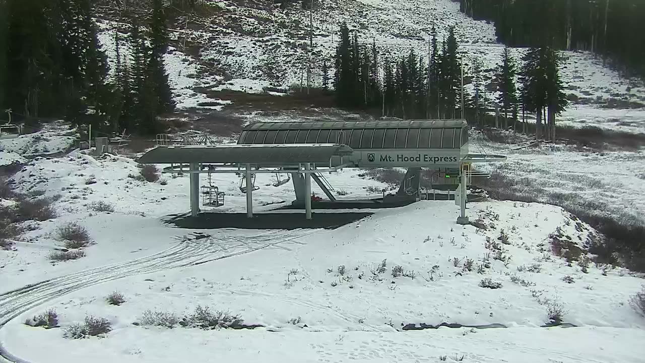
  1. Base Area still, 0″ new snow in 24 h
    0″24 h
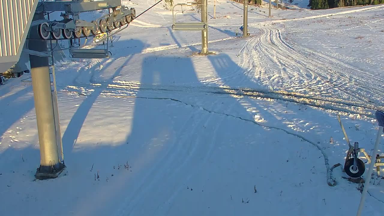
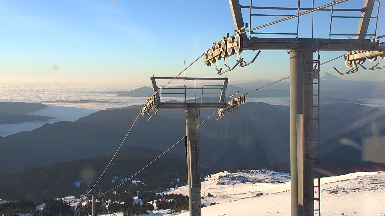
  2. Base Area still, 0″ new snow in 24 h
    0″24 h
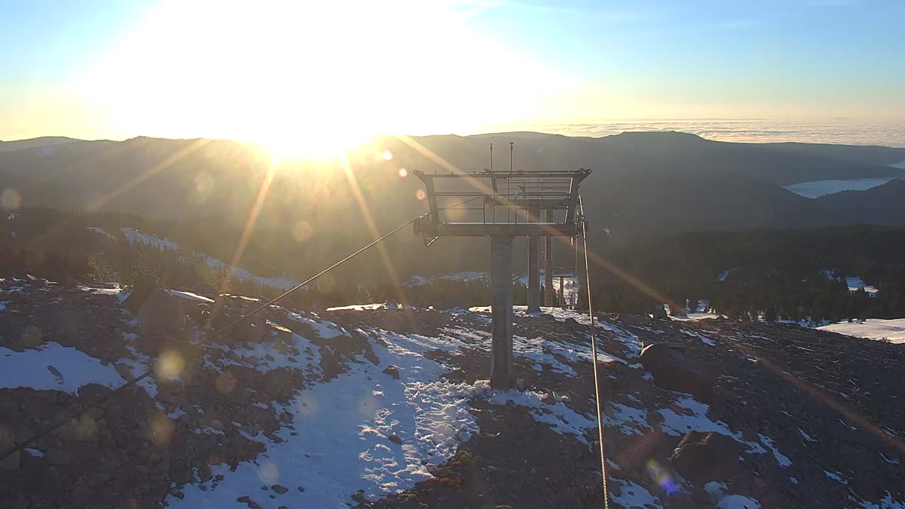
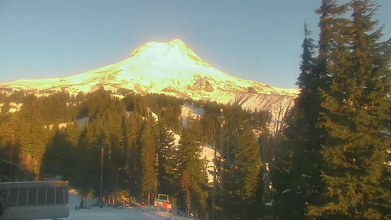
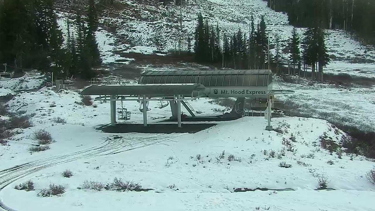
  3. Base Area still, 0″ new snow in 24 h
    0″24 h
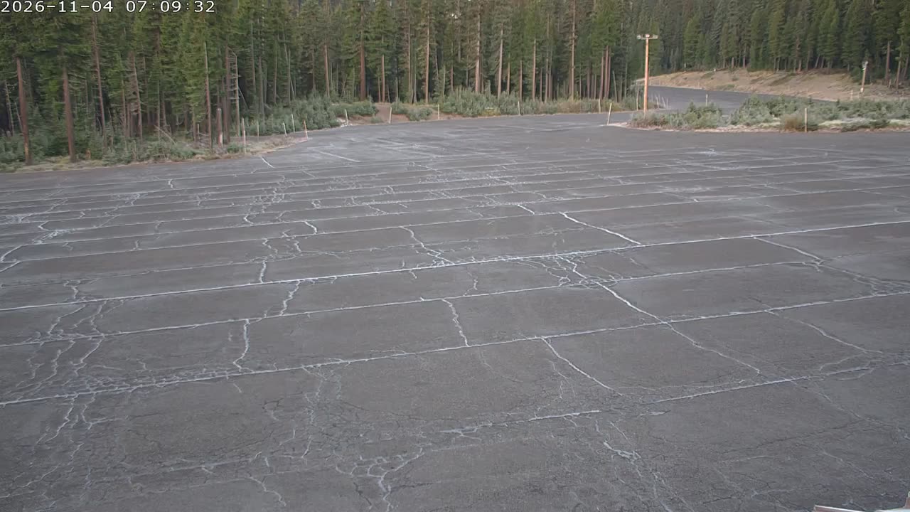
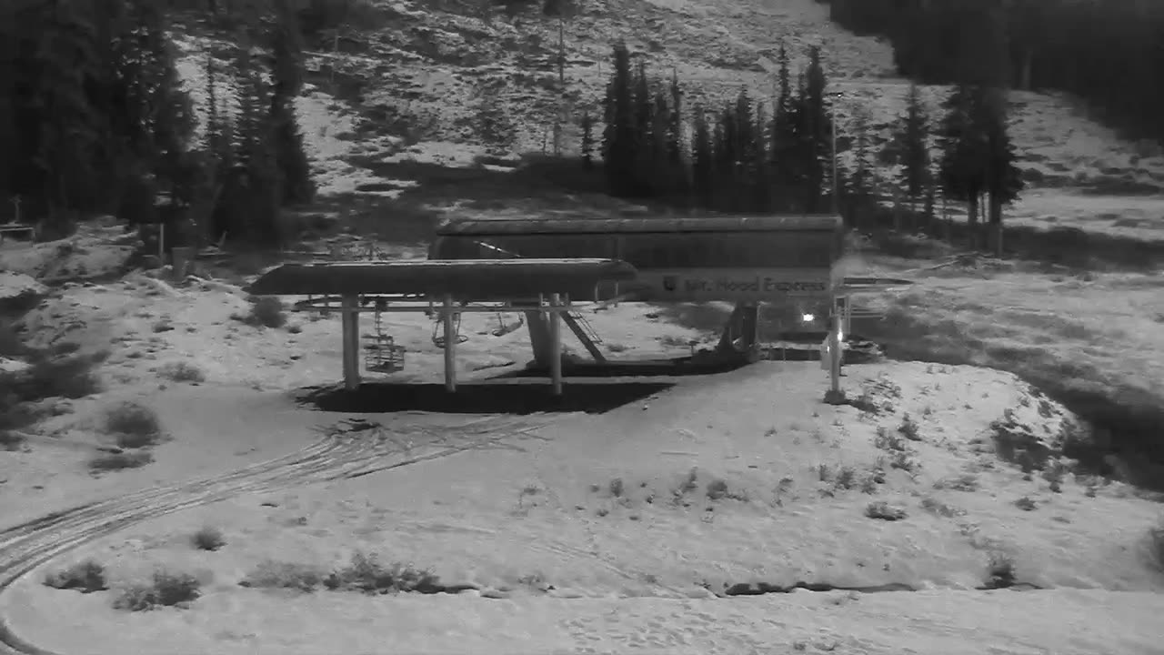
  4. Base Area still, 0″ new snow in 24 h
    0″24 h

Last 24 h on tapeBottom Vista

All clips →
– 83 frames11.9 s

Nearby resorts

Community Conditions

Quick Conditions Vote

Anonymous — no sign-in required.

Snow Quality

Comfort

Powder alerts

Get an email when Mt. Hood Meadows gets 6″+

No account. One email per storm day. Unsubscribe in one click.

Detailed Conditions Report

Sign in for a full report with visibility, wind, and trail conditions.

Snow Quality

Visibility

Wind

Trail Conditions

Notes (optional)

No recent reports. Be the first to submit conditions for today!

About Mt. Hood Meadows

Mt. Hood Meadows is a ski resort in Mt. Hood, Oregon. PeakCam tracks 8 webcams here, plus snow depth from the assigned NRCS station, updated every six hours.

The measured base depth is 8 inches. Snow water equivalent is 157% of this station's 1991–2020 median for today's date. Sensor history shows the snowpack has held steady over the past week.

Frequently Asked

Where is Mt. Hood Meadows?
Mt. Hood Meadows is a ski resort in Mt. Hood, Oregon. Coordinates: 45.33° N, 121.67° W.
How high is Mt. Hood Meadows?
Mt. Hood Meadows runs from a base at 5,366 ft to a summit at 7,305 ft, a vertical drop of 2,777 ft.
How big is Mt. Hood Meadows?
Mt. Hood Meadows has 2,150 acres of skiable terrain, as published by the resort.
How much snow does Mt. Hood Meadows get in a typical season?
Mt. Hood Meadows reports an average of 430 in of snowfall a season (resort-published figure). At the Mt Hood Test Site NRCS station (5,380 ft), the 1991–2020 median snow depth peaks at 131 inches around Mar 27; that is depth on the ground at one elevation, not seasonal snowfall.
Which ski pass covers Mt. Hood Meadows?
Mt. Hood Meadows is on the Indy Pass, per the pass's published resort lists. Blackout days and partner-day limits vary by pass tier; check the pass site before you go.
What is the base depth at Mt. Hood Meadows today?
As of 8:06 a.m. MT Nov 4, the SNOTEL sensor at the Mt Hood Test Site station (5,380 ft) measures a 8 inches base at Mt. Hood Meadows. Snow water equivalent is 157% of the station's 1991–2020 median for today's date.
Does Mt. Hood Meadows have live webcams?
Yes — this page has 8 webcams for Mt. Hood Meadows (a mix of live video and refreshing stills), free and without an account.
Where does Mt. Hood Meadows's snow data come from?
From the NRCS snow-telemetry station assigned to Mt. Hood Meadows. PeakCam syncs it every six hours and runs range and spike quality checks. When at least two unflagged on-mountain user reports land within 24 hours, they can move the condition rating by one tier — they never change the depth number. Sensor readings can differ from the resort's own report, which usually quotes the upper mountain.
What are the ski conditions at Mt. Hood Meadows today?
Expect clear bluebird skies today.

More on how these numbers are measured: www.peakcam.io/methodology