PeakCam

Snow Ridge

As of 9:45 a.m. MT Oct 20, a weather-model estimate for Snow Ridge puts 0 in. of new snow in 24 h, 0 in. in 48 h, base 0 in.

Tug Hill Plateau · NY

Status unknown. As of Oct 20, Snow Ridge has no confirmed operating status; base 0 in. (model estimate, 3 h old), 0 in. of new snow in 24 h (model estimate).Poor

Description · generated

Snow Ridge is a ski area in New York, United States, on the Tug Hill Plateau east of Lake Ontario. It has 31 runs served by 5 lifts, with a vertical drop of 500 feet between a 1,350-foot base and a 1,850-foot summit. The longest run is 0.75 miles. The plateau receives lake-effect snow, and the area reports about 230 inches in an average year. Snow Ridge is on the Indy Pass.
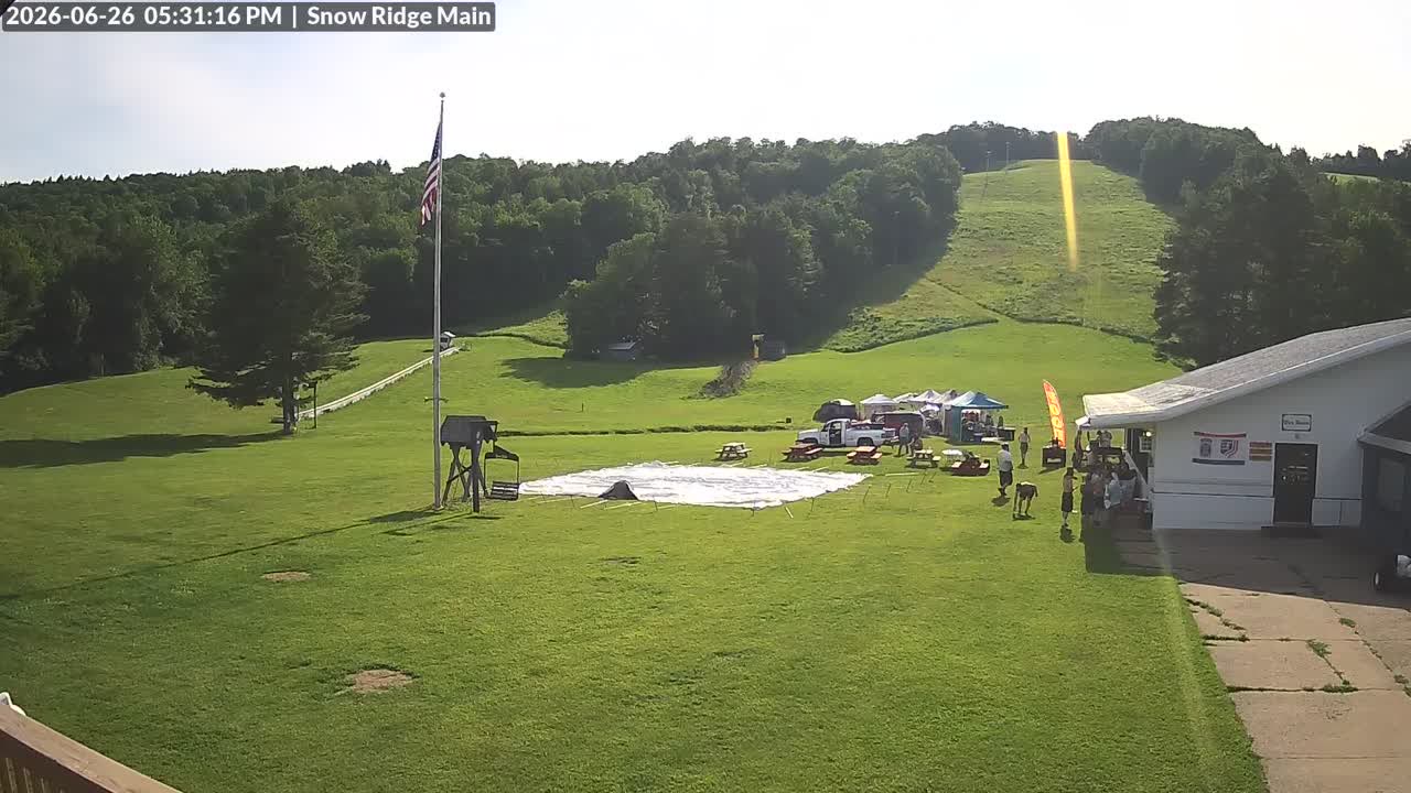
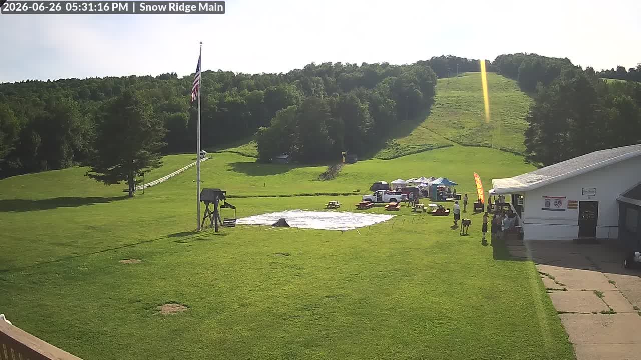
Live Feed webcam at Snow Ridge

Live Feed

Powder alerts

Get an email when Snow Ridge gets 6″+

No account. One email per storm day. Unsubscribe in one click.

61°Feels 61°
0"New snow
Wind
0%Precip chance
4
PeakCam Snow Scorepoor2026-10-20

As of Oct 20, Snow Ridge's PeakCam Snow Score is 4 of 100 (poor): snow quality 3.8 of 15, depth vs normal 0 of 30, 7-day snow 0 of 25, 7-day forecast 0 of 20.

Why 4? The five components
  • Depth vs normal0 / 30
    base 0 in. (model estimate); no station normal to compare with, so 60 in. earns 27 of 30 · model
  • New snow, 7 days0 / 25
    0 in. of new snow in the last 48 h (no daily rows yet) (model estimate) · model
  • Forecast, 7 days0 / 20
    0 in. forecast over the next 7 days (median of 9 models, Open-Meteo) · model
  • Snow quality3.8 / 15
    days since snow unknown, 3-day high 55°F (model estimate) · derived
  • Operating status0 / 10
    status unknown (nothing on file) · none

Algorithmic, formula score-v1: great ≥ 75, good ≥ 55, fair ≥ 35. How the score works · JSON

Last 30 days
30 scored days from 2026-09-21 to 2026-10-20: 0 to 4, low 0 on 2026-09-21, high 4 on 2026-10-20.

Snow Report

0″
Base Depth
0″
24h New Snow
0″
48h New Snow
→ Stable
7-Day Trend
—
Trails Open
—
Lifts Open
Bluebird
Expect clear bluebird skies alongside breezy conditions.
Warming trend
Outlook

Updated · Source: open_meteo

  • Base depthmodelestimated 3 h
  • 24 h newmodelestimated 3 h
  • TempGHCN stationstale 67 h
  • WindNWS stationlive <1 h
  • Next 48 hmodelestimated 4 h
  • What the tiers mean

5-Day Forecast

NWS Forecast ↗

14-day snow outlook · summit

0 in next 7 days · 0.1 in over 14 · peak 0 in on Thu, Oct 29

9 models agree today · 9 models in the blend

  1. Today

    20

    –

    55°/35°

    9m

  2. Wed

    21

    –

    55°/30°

    9m

  3. Thu

    22

    –

    52°/34°

    8m

  4. Fri

    23

    –

    48°/29°

    8m

  5. Sat

    24

    –

    53°/28°

    7m

  6. Sun

    25

    –

    58°/31°

    7m

  7. Mon

    26

    –

    60°/38°

    6m

  8. Tue

    27

    –

    48°/31°

    5m

  9. Wed

    28

    ✳✳✳

    –

    46°/26°

    5m

  10. Thu

    29

    ✳✳✳

    –

    50°/34°

    4m

  11. Fri

    30

    ✳✳✳

    –

    42°/27°

    4m

  12. Sat

    31

    –

    41°/24°

    2m

  13. Sun

    1

    –

    46°/34°

    2m

  14. Mon

    2

    –

    47°/31°

    2m

Median of the models that reach each day; the pale band is the 25th–75th percentile across models. Updated every 6 hours. Weather data by Open-Meteo.com (CC BY 4.0) · every model · how it is verified

Tue
PM
61°
EVE
56°
Wed
AM
50°
PM
57°
EVE
49°
Thu
AM
49°
PM
52°

Snow amounts: PeakCam blend of 9 models (Open-Meteo, CC BY 4.0) · Narrative, temperature and wind: National Weather Service · Updated hourly

What the instruments say

by elevation band
Latest station observations near Snow Ridge, by elevation band
BandStationDepthNewTempWindRead
SummitHIGHMARKET 2 W, NY USGHCN-Daily · 1,804 ft · 11.5 km0″0″46°F–
Mid-mountainCONSTABLEVILLE 1.2 NW, NY USGHCN-Daily · 1,646 ft · 7.5 km–0″––
Mid-mountainFW7889 Otter LakeNWS · 1,532 ft · 24.7 km––61°F3 mph

Each row is one sensor at its own elevation, not a mountain average. Daily networks (SNOTEL, GHCN) read once a day; hourly ones (NWS, ECCC, BC ASWS) carry temperature and wind but no depth. Sources: NOAA NCEI GHCN-Daily; NOAA National Weather Service.

Live Cams · 1 available

View all on resort site ↗

Last 24 hLive Feed

4 frames · every 6 h
  1. Live Feed still, 0″ new snow in 24 h
    0″24 h
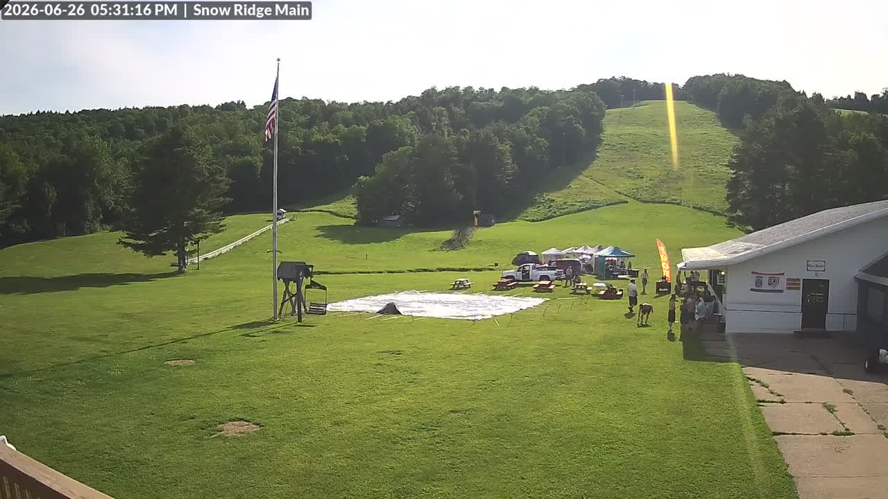
  2. Live Feed still, 0″ new snow in 24 h
    0″24 h
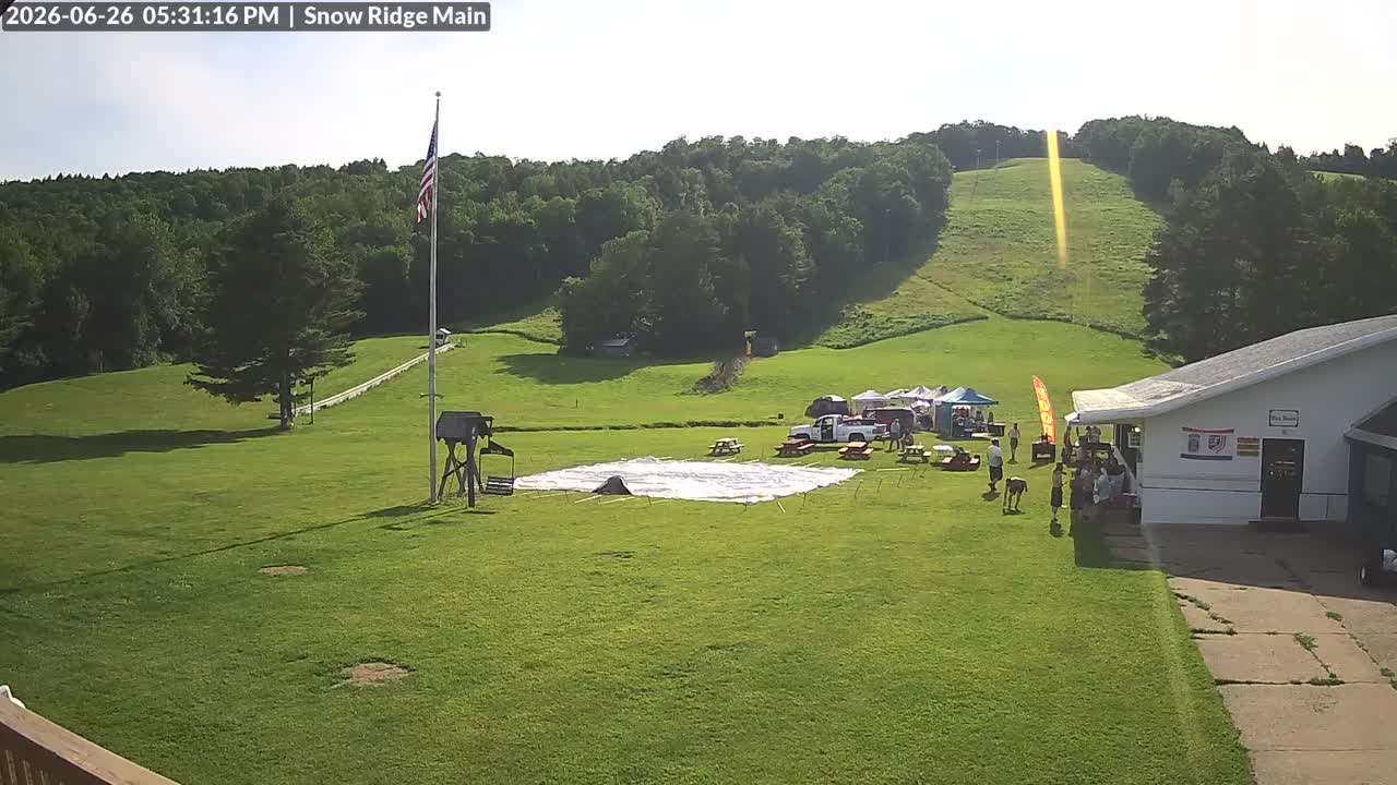
  3. Live Feed still, 0″ new snow in 24 h
    0″24 h
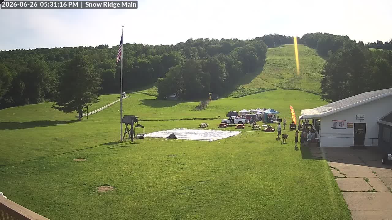
  4. Live Feed still, 0″ new snow in 24 h
    0″24 h

The only cam we have for Snow Ridge is at the top of this page. Jump to it ↑

Nearby resorts

Community Conditions

Quick Conditions Vote

Anonymous — no sign-in required.

Snow Quality

Comfort

Powder alerts

Get an email when Snow Ridge gets 6″+

No account. One email per storm day. Unsubscribe in one click.

Detailed Conditions Report

Sign in for a full report with visibility, wind, and trail conditions.

Snow Quality

Visibility

Wind

Trail Conditions

Notes (optional)

No recent reports. Be the first to submit conditions for today!

About Snow Ridge

Snow Ridge is a ski resort in Tug Hill Plateau, New York. PeakCam tracks 1 webcam here. Snow figures on this page are weather-model estimates, not ground-sensor readings.

PeakCam treats this as the off-season here; if the mountain is still operating, the numbers and cams above are the thing to trust.

Frequently Asked

Where is Snow Ridge?
Snow Ridge is a ski resort in Tug Hill Plateau, New York. Coordinates: 43.64° N, 75.42° W.
How high is Snow Ridge?
Snow Ridge runs from a base at 1,350 ft to a summit at 1,850 ft, a vertical drop of 500 ft.
How big is Snow Ridge?
Snow Ridge has 31 named runs and 5 lifts, as published by the resort. The longest run is 0.8 mi.
How much snow does Snow Ridge get in a typical season?
Snow Ridge reports an average of 230 in of snowfall a season (resort-published figure).
Which ski pass covers Snow Ridge?
Snow Ridge is on the Indy Pass, per the pass's published resort lists. Blackout days and partner-day limits vary by pass tier; check the pass site before you go.
What is the base depth at Snow Ridge today?
As of 9:45 a.m. MT Oct 20, the latest report for Snow Ridge puts the base at 0 inches (model estimate).
Does Snow Ridge have live webcams?
Yes — this page has 1 webcam for Snow Ridge (live video), free and without an account.
Where does Snow Ridge's snow data come from?
Snow Ridge has no NRCS telemetry station, so depth and new-snow figures here are weather-model estimates (Open-Meteo), updated every six hours. They are a good storm signal but will not match an on-the-ground measurement exactly.

More on how these numbers are measured: www.peakcam.io/methodology