PeakCam

Ski La Réserve

As of 9:45 a.m. MT Oct 20, a weather-model estimate for Ski La Réserve puts 0 in. of new snow in 24 h, 0 in. in 48 h, base 0 in.

Laurentians · QC

Status unknown. As of Oct 20, Ski La Réserve has no confirmed operating status; base 0 in. (model estimate, 2 h old), 0 in. of new snow in 24 h (model estimate).Poor

Description · generated

Ski La Réserve is a ski area in the Laurentians of Quebec, Canada, in the Lanaudière region near Saint-Donat. The mountain has 1,001 feet of vertical, rising from a 1,296-foot base to a 2,297-foot summit. Its 100 skiable acres hold 40 runs, including beginner trails beside a teaching slope and terrain parks for different ability levels. Lift service includes quad chairlifts, and uphill access on skis or splitboards is allowed during set hours with a ticket. The area opened in the 1950s, closed for a period, and reopened under new ownership.

Au sommet webcam at Ski La Réserve, 2,297′

Au sommet· 2,297′

Powder alerts

Get an email when Ski La Réserve gets 6″+

No account. One email per storm day. Unsubscribe in one click.

51°Feels 51°
0"New snow
Wind
0%Precip chance
7
PeakCam Snow Scorepoor2026-10-20

As of Oct 20, Ski La Réserve's PeakCam Snow Score is 7 of 100 (poor): snow quality 6.8 of 15, depth vs normal 0 of 30, 7-day snow 0 of 25.

Why 7? The five components
  • Depth vs normal0 / 30
    base 0 in. (model estimate); no station normal to compare with, so 60 in. earns 27 of 30 · model
  • New snow, 7 days0 / 25
    0 in. of new snow in the last 48 h (no daily rows yet) (model estimate) · model
  • Forecast, 7 days0 / 20
    no stored forecast run · none
  • Snow quality6.8 / 15
    days since snow unknown, temperature unknown · derived
  • Operating status0 / 10
    status unknown (nothing on file) · none

Algorithmic, formula score-v1: great ≥ 75, good ≥ 55, fair ≥ 35. How the score works · JSON

Snow Report

0″
Base Depth
0″
24h New Snow
0″
48h New Snow
→ Stable
7-Day Trend
—
Trails Open
—
Lifts Open
Bluebird
Expect clear bluebird skies today.
Warming trend
Outlook

Updated · Source: open_meteo

  • Base depthmodelestimated 2 h
  • 24 h newmodelestimated 2 h
  • Next 48 hmodelestimated 3 h
  • What the tiers mean

5-Day Forecast

14-day snow outlook · summit

0 in next 7 days · 0.3 in over 14 · peak 0.2 in on Sun, Nov 1

7 models agree today · 7 models in the blend

  1. Today

    20

    –

    49°/33°

    7m

  2. Wed

    21

    –

    50°/29°

    7m

  3. Thu

    22

    –

    46°/32°

    7m

  4. Fri

    23

    –

    45°/28°

    7m

  5. Sat

    24

    –

    50°/26°

    6m

  6. Sun

    25

    –

    52°/32°

    6m

  7. Mon

    26

    –

    49°/33°

    5m

  8. Tue

    27

    –

    39°/24°

    4m

  9. Wed

    28

    –

    40°/20°

    4m

  10. Thu

    29

    –

    43°/30°

    3m

  11. Fri

    30

    ✳✳✳

    –

    35°/22°

    3m

  12. Sat

    31

    –

    35°/21°

    2m

  13. Sun

    1

    ✳✳✳

    0.2"

    39°/30°

    2m

  14. Mon

    2

    –

    37°/24°

    2m

Median of the models that reach each day; the pale band is the 25th–75th percentile across models. Updated every 6 hours. Weather data by Open-Meteo.com (CC BY 4.0) · every model · how it is verified

Tue
AM
46°
PM
51°
EVE
45°
Wed
AM
41°
PM
50°
EVE
43°

Snow amounts: PeakCam blend of 7 models (Open-Meteo, CC BY 4.0) · Narrative, temperature and wind: Open-Meteo · Updated hourly

Live Cams · 2 available

View all on resort site ↗
La remontée webcam at Ski La Réserve

La remontée

Last 24 hAu sommet

4 frames · every 6 h
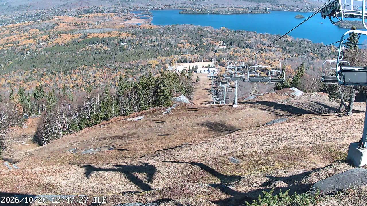
  1. Au sommet still, 0″ new snow in 24 h
    0″24 h
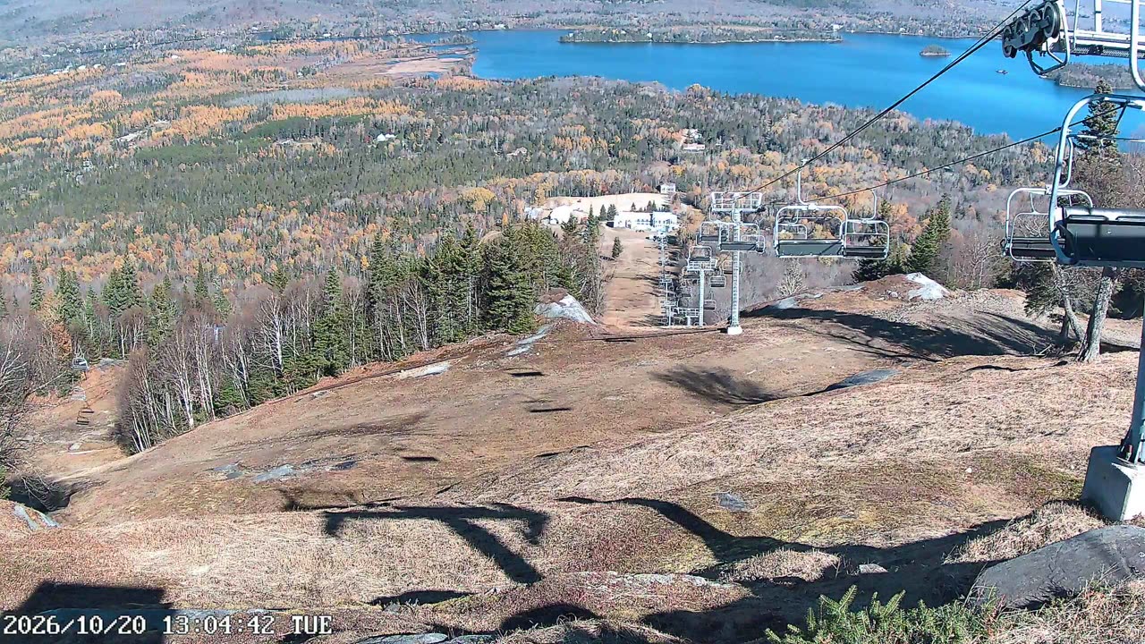
  2. Au sommet still, 0″ new snow in 24 h
    0″24 h
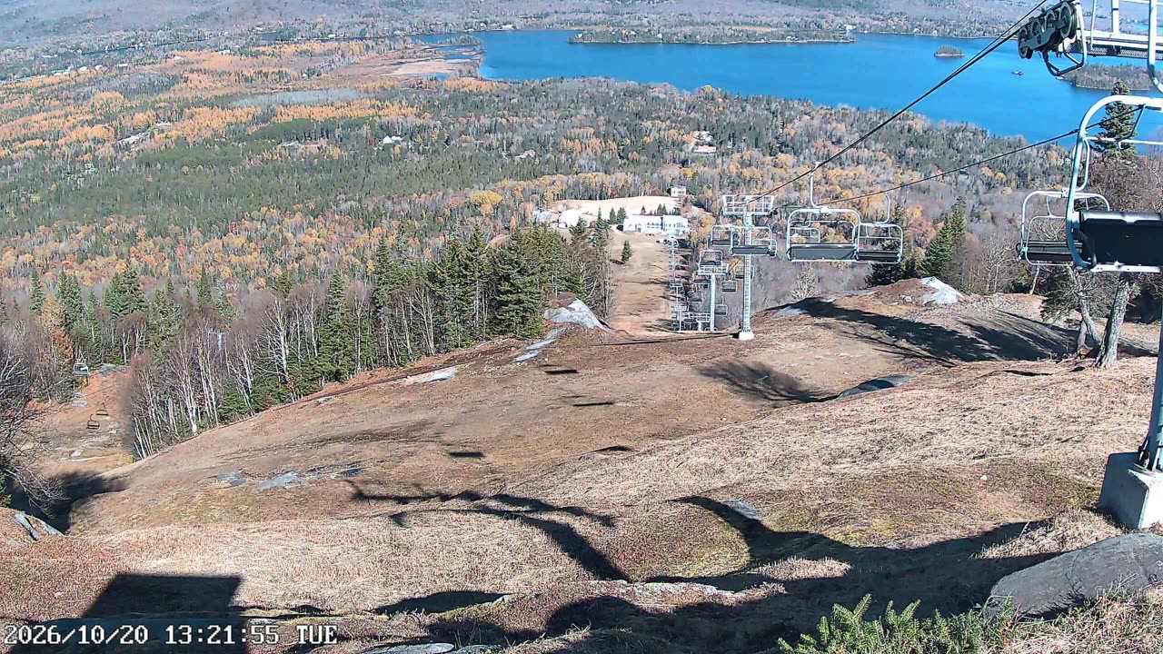
  3. Au sommet still, 0″ new snow in 24 h
    0″24 h
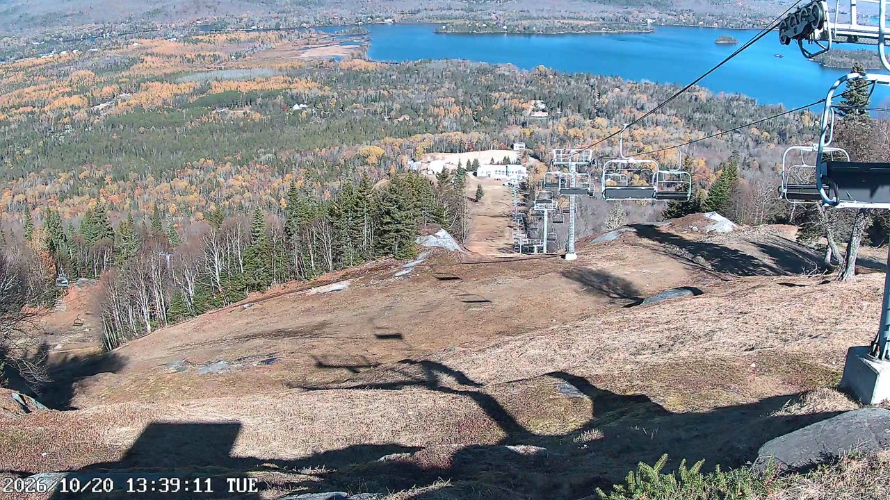
  4. Au sommet still, 0″ new snow in 24 h
    0″24 h

Nearby resorts

Community Conditions

Quick Conditions Vote

Anonymous — no sign-in required.

Snow Quality

Comfort

Powder alerts

Get an email when Ski La Réserve gets 6″+

No account. One email per storm day. Unsubscribe in one click.

Detailed Conditions Report

Sign in for a full report with visibility, wind, and trail conditions.

Snow Quality

Visibility

Wind

Trail Conditions

Notes (optional)

No recent reports. Be the first to submit conditions for today!

About Ski La Réserve

Ski La Réserve is a ski resort in Laurentians, Quebec. PeakCam tracks 2 webcams here. Snow figures on this page are weather-model estimates, not ground-sensor readings.

PeakCam treats this as the off-season here; if the mountain is still operating, the numbers and cams above are the thing to trust.

Frequently Asked

Where is Ski La Réserve?
Ski La Réserve is a ski resort in Laurentians, Quebec. Coordinates: 46.29° N, 74.18° W.
How high is Ski La Réserve?
Ski La Réserve runs from a base at 1,296 ft to a summit at 2,297 ft, a vertical drop of 1,001 ft.
How big is Ski La Réserve?
Ski La Réserve has 100 acres of skiable terrain and 40 named runs, as published by the resort.
What is the base depth at Ski La Réserve today?
As of 9:45 a.m. MT Oct 20, the latest report for Ski La Réserve puts the base at 0 inches (model estimate).
Does Ski La Réserve have live webcams?
Yes — this page has 2 webcams for Ski La Réserve (live video), free and without an account.
Where does Ski La Réserve's snow data come from?
Ski La Réserve has no NRCS telemetry station, so depth and new-snow figures here are weather-model estimates (Open-Meteo), updated every six hours. They are a good storm signal but will not match an on-the-ground measurement exactly.

More on how these numbers are measured: www.peakcam.io/methodology