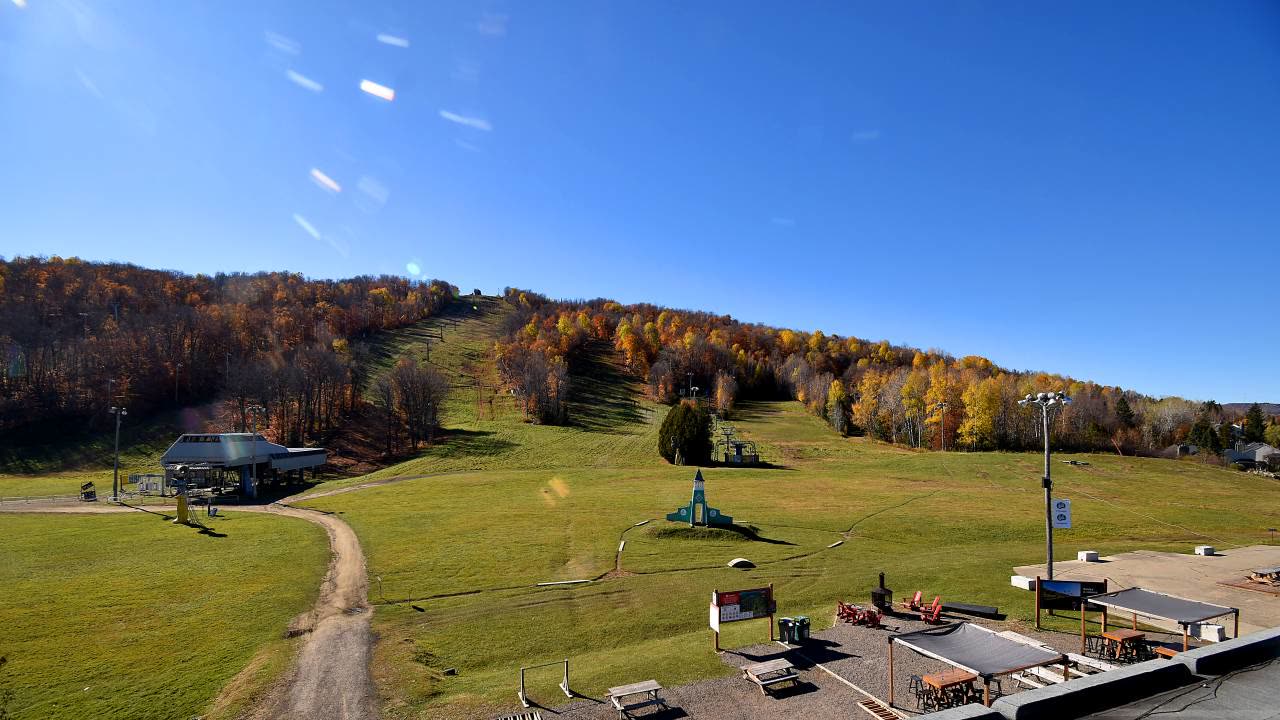
PeakCam

Sommet Saint-Sauveur

As of 9:45 a.m. MT Oct 20, a weather-model estimate for Sommet Saint-Sauveur puts 0 in. of new snow in 24 h, 0 in. in 48 h, base 0 in.

Laurentians · QC

Status unknown. As of Oct 20, Sommet Saint-Sauveur has no confirmed operating status; base 0 in. (model estimate, 2 h old), 0 in. of new snow in 24 h (model estimate).Poor

Description · generated

Sommet Saint-Sauveur is a ski area in the Laurentians of Quebec, Canada. It has 41 runs served by 9 lifts, and the terrain suits skiers and snowboarders at a range of levels. Lighted slopes allow evening skiing, and a terrain park and a learning area are part of the layout. The adjoining Avila side adds neighboring runs, a snow park and a tubing area. A ski and snowboard school operates on site, and a new six-person high-speed lift is planned to replace chairlift 71.
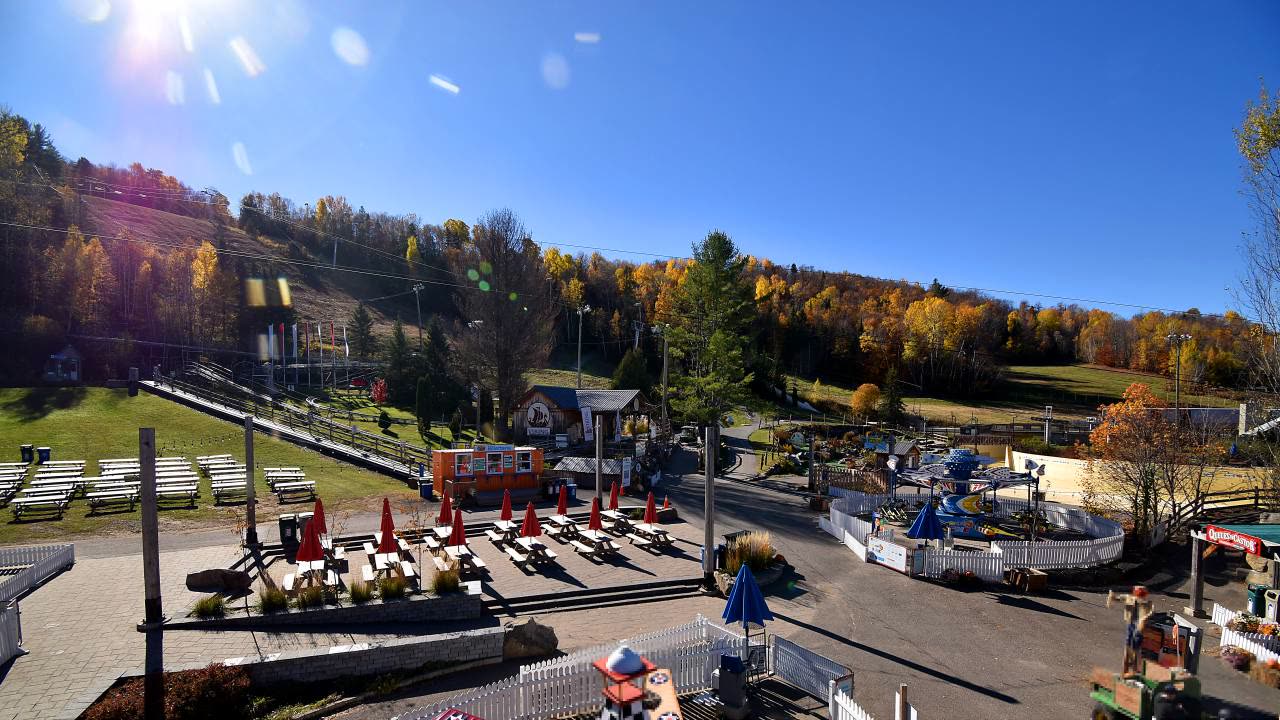
Parc F.U.N. webcam at Sommet Saint-Sauveur

Parc F.U.N.

Powder alerts

Get an email when Sommet Saint-Sauveur gets 6″+

No account. One email per storm day. Unsubscribe in one click.

56°Feels 56°
0"New snow
Wind
0%Precip chance
7
PeakCam Snow Scorepoor2026-10-20

As of Oct 20, Sommet Saint-Sauveur's PeakCam Snow Score is 7 of 100 (poor): snow quality 6.8 of 15, depth vs normal 0 of 30, 7-day snow 0 of 25.

Why 7? The five components
  • Depth vs normal0 / 30
    base 0 in. (model estimate); no station normal to compare with, so 60 in. earns 27 of 30 · model
  • New snow, 7 days0 / 25
    0 in. of new snow in the last 48 h (no daily rows yet) (model estimate) · model
  • Forecast, 7 days0 / 20
    no stored forecast run · none
  • Snow quality6.8 / 15
    days since snow unknown, temperature unknown · derived
  • Operating status0 / 10
    status unknown (nothing on file) · none

Algorithmic, formula score-v1: great ≥ 75, good ≥ 55, fair ≥ 35. How the score works · JSON

Snow Report

0″
Base Depth
0″
24h New Snow
0″
48h New Snow
→ Stable
7-Day Trend
—
Trails Open
—
Lifts Open
Bluebird
Expect clear bluebird skies today.
Warming trend
Outlook

Updated · Source: open_meteo

  • Base depthmodelestimated 2 h
  • 24 h newmodelestimated 2 h
  • TempECCClive <1 h
  • WindECCClive <1 h
  • Next 48 hmodelestimated 3 h
  • What the tiers mean

5-Day Forecast

14-day snow outlook · base

No snow in the 14-day blend

7 models agree today · 7 models in the blend

  1. Today

    20

    –

    57°/38°

    7m

  2. Wed

    21

    –

    55°/33°

    7m

  3. Thu

    22

    –

    54°/37°

    7m

  4. Fri

    23

    –

    51°/32°

    7m

  5. Sat

    24

    –

    55°/32°

    6m

  6. Sun

    25

    –

    57°/36°

    6m

  7. Mon

    26

    –

    56°/41°

    5m

  8. Tue

    27

    –

    47°/29°

    4m

  9. Wed

    28

    –

    44°/26°

    4m

  10. Thu

    29

    –

    50°/36°

    3m

  11. Fri

    30

    –

    42°/29°

    3m

  12. Sat

    31

    –

    43°/27°

    2m

  13. Sun

    1

    –

    46°/36°

    2m

  14. Mon

    2

    –

    44°/30°

    2m

Median of the models that reach each day; the pale band is the 25th–75th percentile across models. Updated every 6 hours. Weather data by Open-Meteo.com (CC BY 4.0) · every model · how it is verified

Tue
AM
50°
PM
56°
EVE
49°
Wed
AM
44°
PM
51°
EVE
46°

Snow amounts: PeakCam blend of 7 models (Open-Meteo, CC BY 4.0) · Narrative, temperature and wind: Open-Meteo · Updated hourly

What the instruments say

by elevation band
Latest station observations near Sommet Saint-Sauveur, by elevation band
BandStationDepthNewTempWindRead
SummitPR VOST 0.9 NE, QC CAGHCN-Daily · 595 ft · 5.5 km0″0″––
Mid-mountainSAINT COLOMBAN 4.6 NE, QC CAGHCN-Daily · 577 ft · 13.5 km–0″––
BaseMontreal/Mirabel InternationalECCC · 271 ft · 24.3 km––57°F1.8 mph

Each row is one sensor at its own elevation, not a mountain average. Daily networks (SNOTEL, GHCN) read once a day; hourly ones (NWS, ECCC, BC ASWS) carry temperature and wind but no depth. Sources: NOAA NCEI GHCN-Daily; Environment and Climate Change Canada.

Live Cams · 4 available

View all on resort site ↗
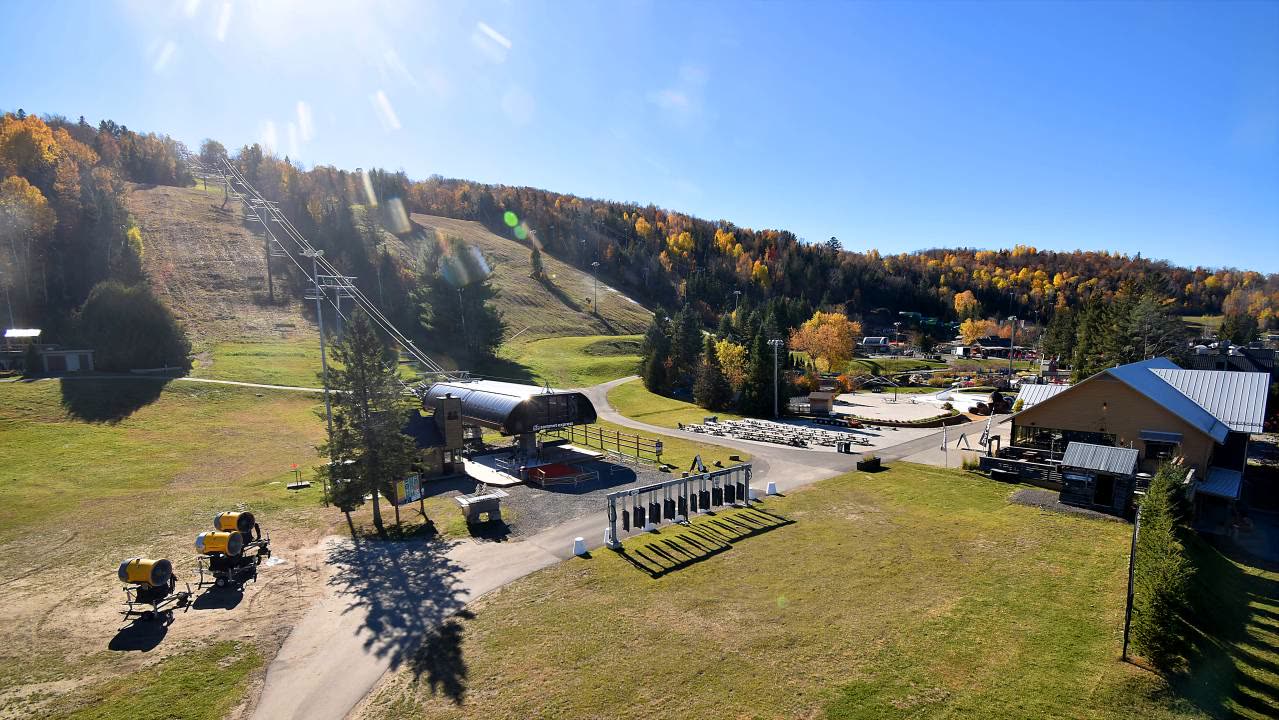
Pavillon principal versant Avila webcam at Sommet Saint-Sauveur

Pavillon principal versant Avila

Piste 70 webcam at Sommet Saint-Sauveur

Piste 70

Sommet Express webcam at Sommet Saint-Sauveur

Sommet Express

Nearby resorts

Community Conditions

Quick Conditions Vote

Anonymous — no sign-in required.

Snow Quality

Comfort

Powder alerts

Get an email when Sommet Saint-Sauveur gets 6″+

No account. One email per storm day. Unsubscribe in one click.

Detailed Conditions Report

Sign in for a full report with visibility, wind, and trail conditions.

Snow Quality

Visibility

Wind

Trail Conditions

Notes (optional)

No recent reports. Be the first to submit conditions for today!

About Sommet Saint-Sauveur

Sommet Saint-Sauveur is a ski resort in Laurentians, Quebec. PeakCam tracks 4 webcams here. Snow figures on this page are weather-model estimates, not ground-sensor readings.

PeakCam treats this as the off-season here; if the mountain is still operating, the numbers and cams above are the thing to trust.

Frequently Asked

Where is Sommet Saint-Sauveur?
Sommet Saint-Sauveur is a ski resort in Laurentians, Quebec. Coordinates: 45.89° N, 74.15° W.
How big is Sommet Saint-Sauveur?
Sommet Saint-Sauveur has 41 named runs and 9 lifts, as published by the resort.
What is the base depth at Sommet Saint-Sauveur today?
As of 9:45 a.m. MT Oct 20, the latest report for Sommet Saint-Sauveur puts the base at 0 inches (model estimate).
Does Sommet Saint-Sauveur have live webcams?
Yes — this page has 4 webcams for Sommet Saint-Sauveur (live video), free and without an account.
Where does Sommet Saint-Sauveur's snow data come from?
Sommet Saint-Sauveur has no NRCS telemetry station, so depth and new-snow figures here are weather-model estimates (Open-Meteo), updated every six hours. They are a good storm signal but will not match an on-the-ground measurement exactly.

More on how these numbers are measured: www.peakcam.io/methodology